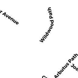
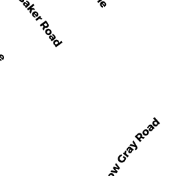
46 JOSHUA BAKER RD
Owner Information
CASE KATHERINE A
46 JOSHUA BAKER RD
WEST YARMOUTH, MA 02673


Property Details
46 JOSHUA BAKER RD is classified as a Single Family Residential (Ranch).
The primary structure on this property was built in 1970. There are 1,726ft2 of built area within this property. There is 1,012ft2 of residential/living space within this property.
46 JOSHUA BAKER RD is valued at $287,400. The land is valued at $116,300 and the structures are valued at $167,800. There is an additional valuation of $3,300 on this property.
The most recent deed for 46 JOSHUA BAKER RD is recorded at the local registrar in Book 29535, Page 189. 46 JOSHUA BAKER RD was last sold on Friday, March 25, 2016 for $186,000.
Assessment data from fiscal year 2022.
Flood Data
According to the FEMA National Flood Hazard Layer, this property does not appear to be in a flood zone. It may also be in an area not yet reviewed. Nonetheless, confirm this information prior to taking any action.
To view the flood hazards around this property, create a FEMA "Firmette" Map of the area around 46 JOSHUA BAKER RD.
Broadband Internet Providers
| Provider | Type | Bandwidth (mbps) | |
|---|---|---|---|
| Viasat Inc | Satellite | 35 | 3 |
| VSAT Systems, LLC. | Satellite | 2 | 1 |
| HughesNet | Satellite | 25 | 3 |
| GCI Communication Corp. | Satellite | 0 | 0 |
| Comcast | Cable | 1000 | 35 |
| Verizon New England Inc. | DSL | 5 | 0 |
Broadband service provider data from December 2020.
Adjacent Properties
- 11 CANDLEWOOD LN
Single Family Residential owned by ROBERTSON JAMES M TRS - 15 CANDLEWOOD LN
Single Family Residential owned by HUSSEY JOHN J - 50 JOSHUA BAKER RD
Single Family Residential owned by PHIPPS LUTCHANA R - 42 JOSHUA BAKER RD
Single Family Residential owned by WOODWORTH SANDRA J TR - 21 CANDLEWOOD LN
Single Family Residential owned by COLLINS DEBORAH A